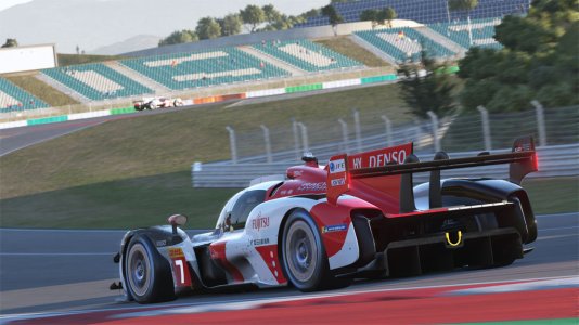
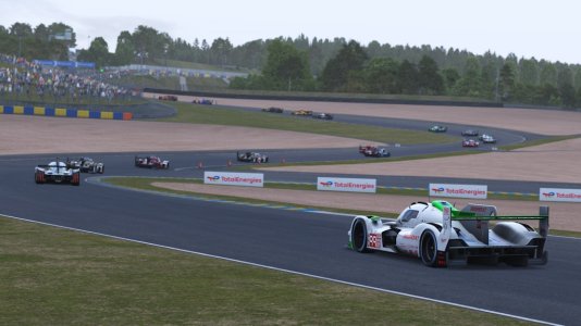
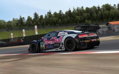
Nelson Ledges Road Course located in Garrettsville, Ohio. Currently a rough draft phase. The course is based off of old satellite data, and needs to be updated. This is probably going to take a while, just given I'm currently in school.
Right now:
General layout of the course, with some track side objects. Alot of placeholders. By no means accurate to the inch. Can be used to get a general idea of the course. No ai or cameras set up. Simply copied the kn5 into another track folder, so the map ui won't match. Having driven on it, I can say it's way too smooth currently. Turn 3 seems too sharp (among other issues throughout the course).

To do list:
Improve visuals
Ensure corners are done as accurately as possible.
Swap out place holders where necessary.
Update visuals in general.
Add all the small bumps in the road.
Track cameras.
Ai pathing.
If this project essentially ends up dead, I'll probably just post the base files for someone else to take over. If anyone else has experience there/more input, I'd appreciate it.
Right now:
General layout of the course, with some track side objects. Alot of placeholders. By no means accurate to the inch. Can be used to get a general idea of the course. No ai or cameras set up. Simply copied the kn5 into another track folder, so the map ui won't match. Having driven on it, I can say it's way too smooth currently. Turn 3 seems too sharp (among other issues throughout the course).
To do list:
Improve visuals
Ensure corners are done as accurately as possible.
Swap out place holders where necessary.
Update visuals in general.
Add all the small bumps in the road.
Track cameras.
Ai pathing.
If this project essentially ends up dead, I'll probably just post the base files for someone else to take over. If anyone else has experience there/more input, I'd appreciate it.


